Water. We are all keenly aware of its value in our day-to-day lives. The human body is over 70% water. There aren’t many topics as personal or precious as abundant, clean, healthy water. But do we all really understand where our water comes from and how that journey impacts water quality?
You’ve probably heard the term “watershed” or “basin” before in conjunction with major rivers and lakes. For example, some of the large watersheds and basins in America include the Great Lakes Watershed, the California River Basin, Rio Grand River Basin and our focus– the Ohio River Watershed, but what exactly is a watershed? This connection between land and water is referred to as a watershed. A watershed is an area of land where all the water drains to a common outlet. Watersheds are like big bowls. Except these bowls span across hundreds of thousands of square miles! Water runs through a landscape in the form of a stream or river, and it also runs over everything in the landscape in the form of rainwater. Additionally, water may come to the surface from springs and underground sources. A watershed is simply a piece of land shedding water to a single point. In our case that is the Ohio River. What isn’t simple, however, is how much water is affected by all the things happening on the land.
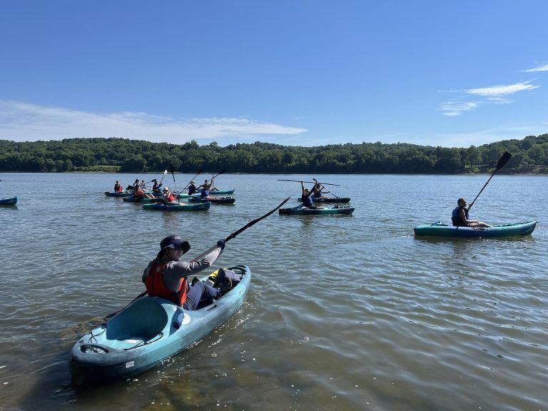
Consider that wherever you are at any given moment, and whatever is happening on the land all around you, is also happening to the water. Water runoff from ALL the surfaces around us transports all kinds of good and bad things into our waterways.
The Ohio River Watershed: By the Numbers
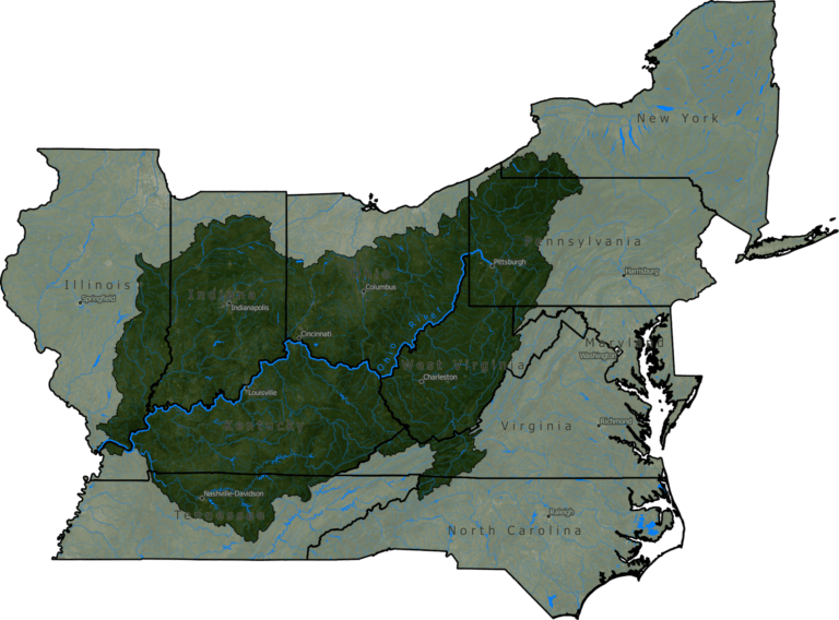
Ohio River Watershed
The picture becomes more complicated as you scale it up and consider the fact that the Ohio River is 981 miles long, starting at the confluence of the Allegheny and the Monongahela Rivers in Pittsburgh, Pennsylvania, and ending in Cairo, Illinois, where it flows into the Mississippi River. The Ohio River flows through or borders six states: Illinois, Indiana, Kentucky, Ohio, Pennsylvania, and West Virginia. In addition, water from parts of New York, Virginia, North Carolina, Tennessee, Maryland, Mississippi, Georgia, and Alabama drain into tributaries that empty into the Ohio. The Ohio River covers approximately 205,000 square miles across 14 states! More than 30 million people, almost 10% of the US population, live in the Ohio River Basin. That means the land that 10% of the US population lives, works, and plays on every day is having an impact on the water you drink!
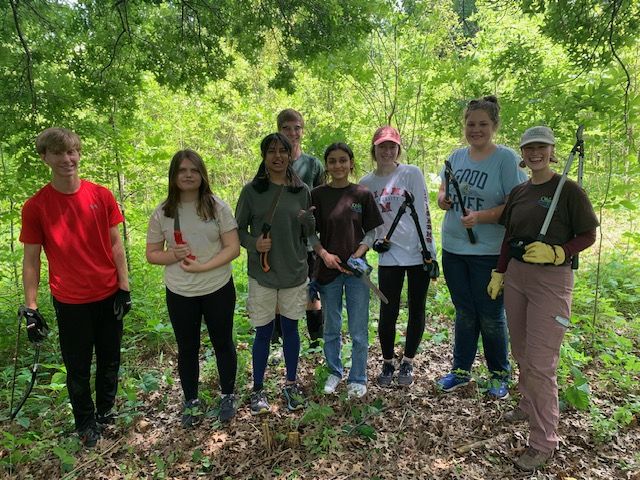
The Ohio River Foundation works hard to protect and improve the water quality and ecology of the Ohio River and its watershed. This is a herculean task that requires scalable solutions that address education, habitat restoration, and advocacy both locally and at the federal level. We prioritize landscape-scale habitat restoration as one of our major priorities because what happens on the land affects the water. The more resilient the land in the Ohio River Watershed is the healthier our water is.
The Role of Restoration & Resilience